.png)
About Us
We are a multi discipline, IT enable Geo consultancy and solution company specializing in providing innovative solutions such as Satellite Photogrammetric Surveys, Aerial Survey, LiDAR, GIS, Remote Sensing, DGPS Survey, GPR Survey, IT and IoT-based engineering services. Our expert team leverages cutting-edge tools to deliver precise and actionable data, empowering clients across various industries to optimize operations and make informed decisions. Committed to quality, sustainability, and customized solutions, we are dedicated to driving progress and innovation through advanced geospatial intelligence. Contact us to discover how we can transform your projects with our comprehensive services.
Services
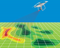
Satellite Mapping
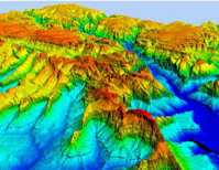
Remote Sensing Analysis.
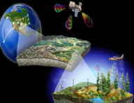
Land Use Land Cover.
Crop Monitoring.
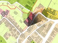
Hydrology.
Environmental.


Our Strengths
Expert Team
Our multidisciplinary experts bring years of experience and specialized knowledge to every project.
Contact Us
Our Address
1103, Tower-1, GLS Arawali Homes, Sector-4, Sohna, Gurugram, India-122103
Email Us
info@mapingo.in
Call Us
+91-9205055898